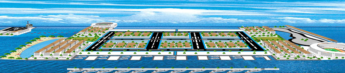
City of Mount Vema 3D Sky View for web large.a - pan+
"A journey of a thousand miles begins with a single step"
"twenty years from now you will be more disappointed by the things that you didn't do than by the ones you did do, so throw off the bowlines, sail away from safe harbor, catch the trade winds in your sails. Explore, dream, discover"
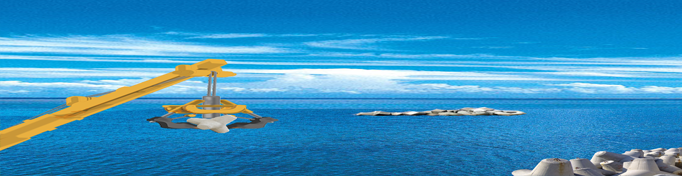
Visit Vema Seamount for your Diving, Deep Sea Fishing Adventures and Scientific Explorations.
MOUNT VEMA
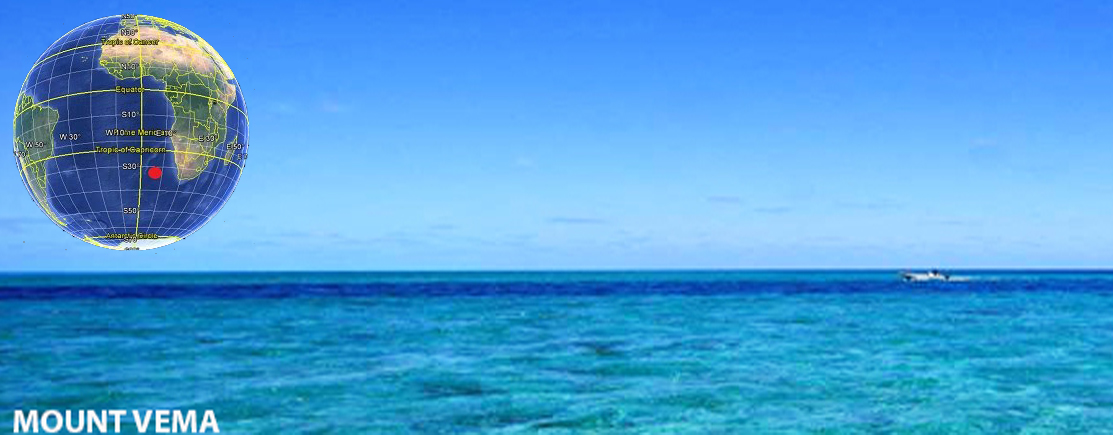
When people think of Mount Vema today, images of water, fishery, royalty and wealth spring to mind, however, this tiny South East Atlantic territory is not only a piece of rock inextricably linked with the Royal Family of Mount Vema (The Monarchy of Mount Vema), it is also an underwater monument. The territory has never been controlled by anyone else for the whole of its 12 million years of existence, and although it is a few meters underwater, its first and current ruler, King Peter of Mount Vema, has propelled the island to its greatest ever imagined state of wealth and prominence.
Visit Mount Vema Logo+
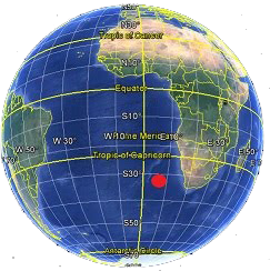
Map loading...
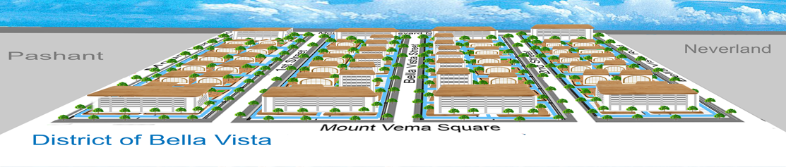
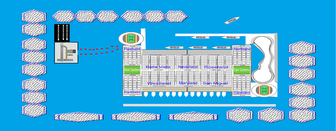
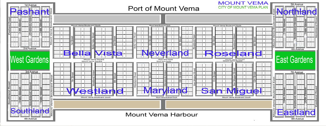
MOUNT VEMA MASTER PLAN 2015.11+
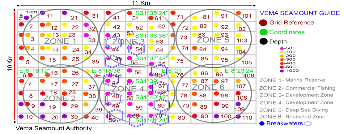
History: The Discovery of Mount Vema - Vema Seamount. Once referred to simply as the exceptionally shallow seamount, Mount Vema was discovered in 1957 by the R.V. Vema, and traverses were made then as well as in 1959 by the Vema and in 1963 by the R.V. Robert D. Conrad. In November 1964 a detailed survey of the peak was undertaken by the diamond prospecting tug, Emerson K (Simpson & Heydorn, 1965). The peak was then for the first time established to have a position at 31 38' S.,8° 20' E. Subsequent to the visit by the Emerson K there have been many unregulated visits by commercial fishing vessels from many different countries, as the territory remained unclaimed until the year 2006, when Vema Seamount was declared a sovereign territory.
Society Membership
SUBSCRIPTION - For graduates, professionals, contractors & subcontractors.